


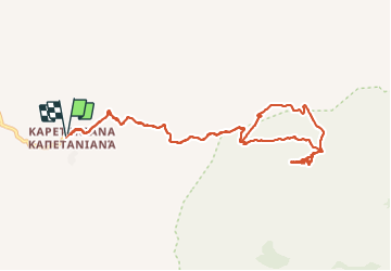

7.6 km | 10.3 km-effort


User


FREE GPS app for hiking
 SityTrail
IGN / Geographical institutes
SityTrail World
The world is yours!
Trail Walking of 12.7 km to be discovered at Region of Crete, Heraklion Regional Unit, Municipality of Stavie. This trail is proposed by fredetpascale.
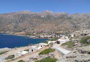
Super vue. Longue approche sur piste, possible en voiture.
Walking